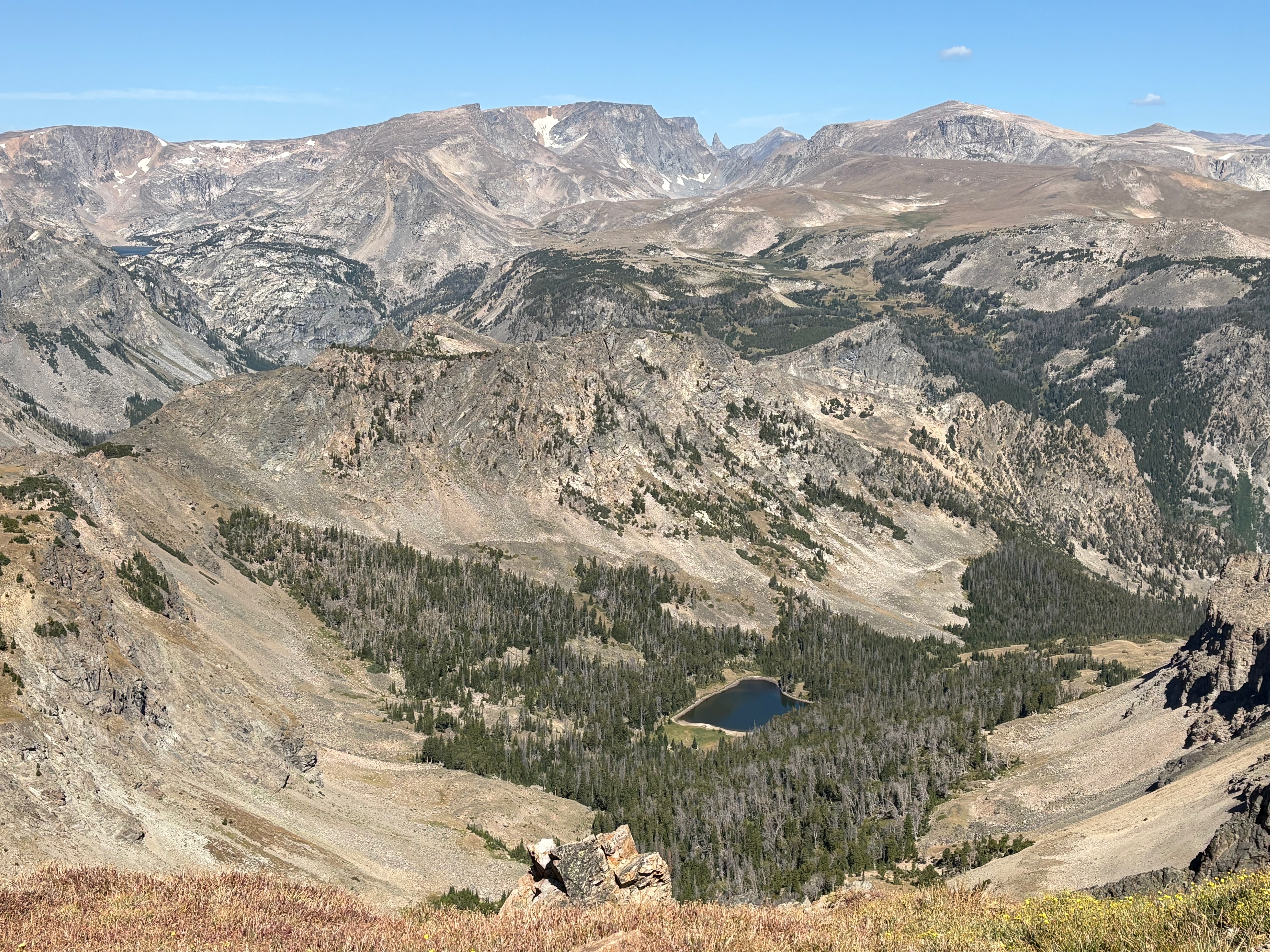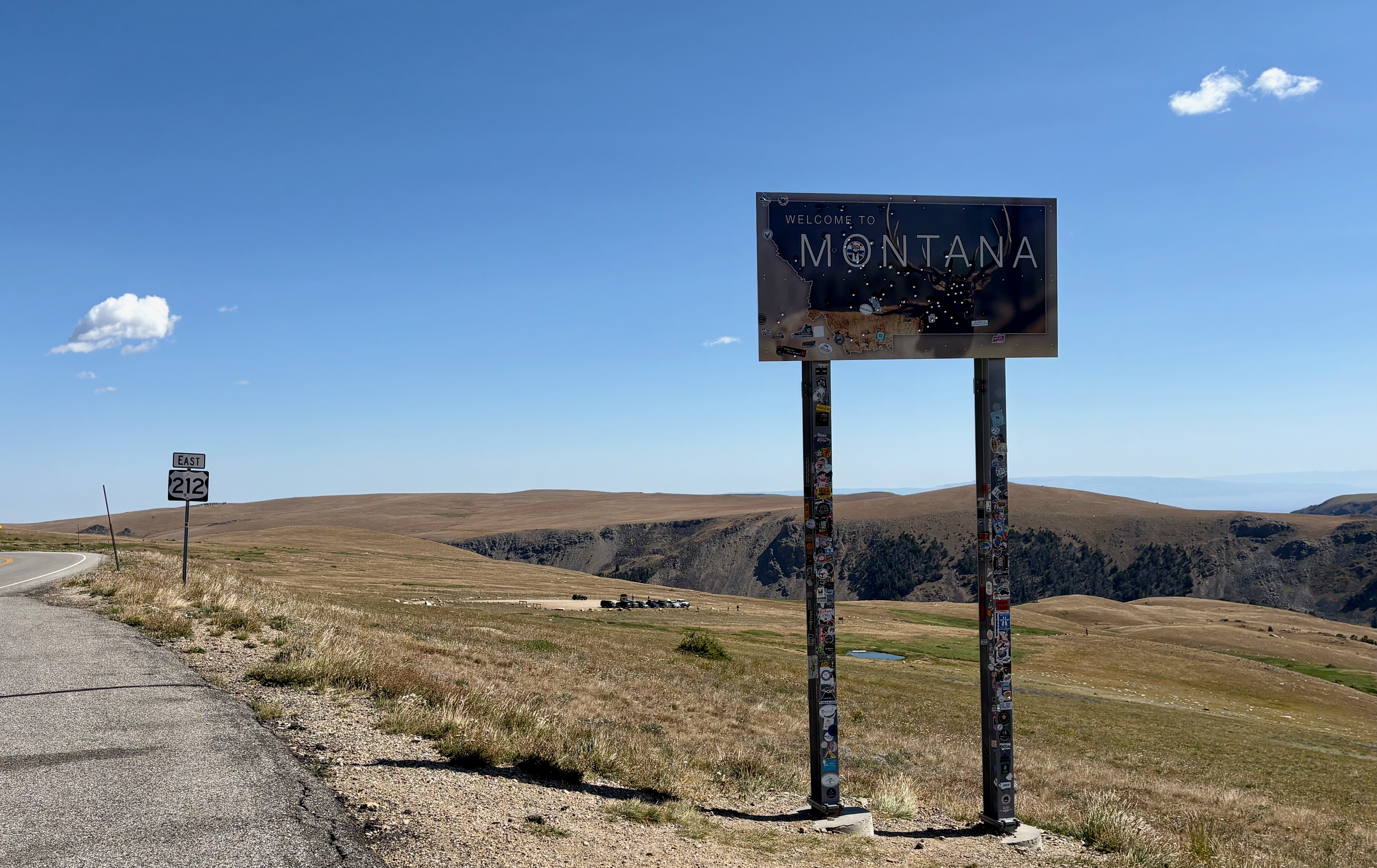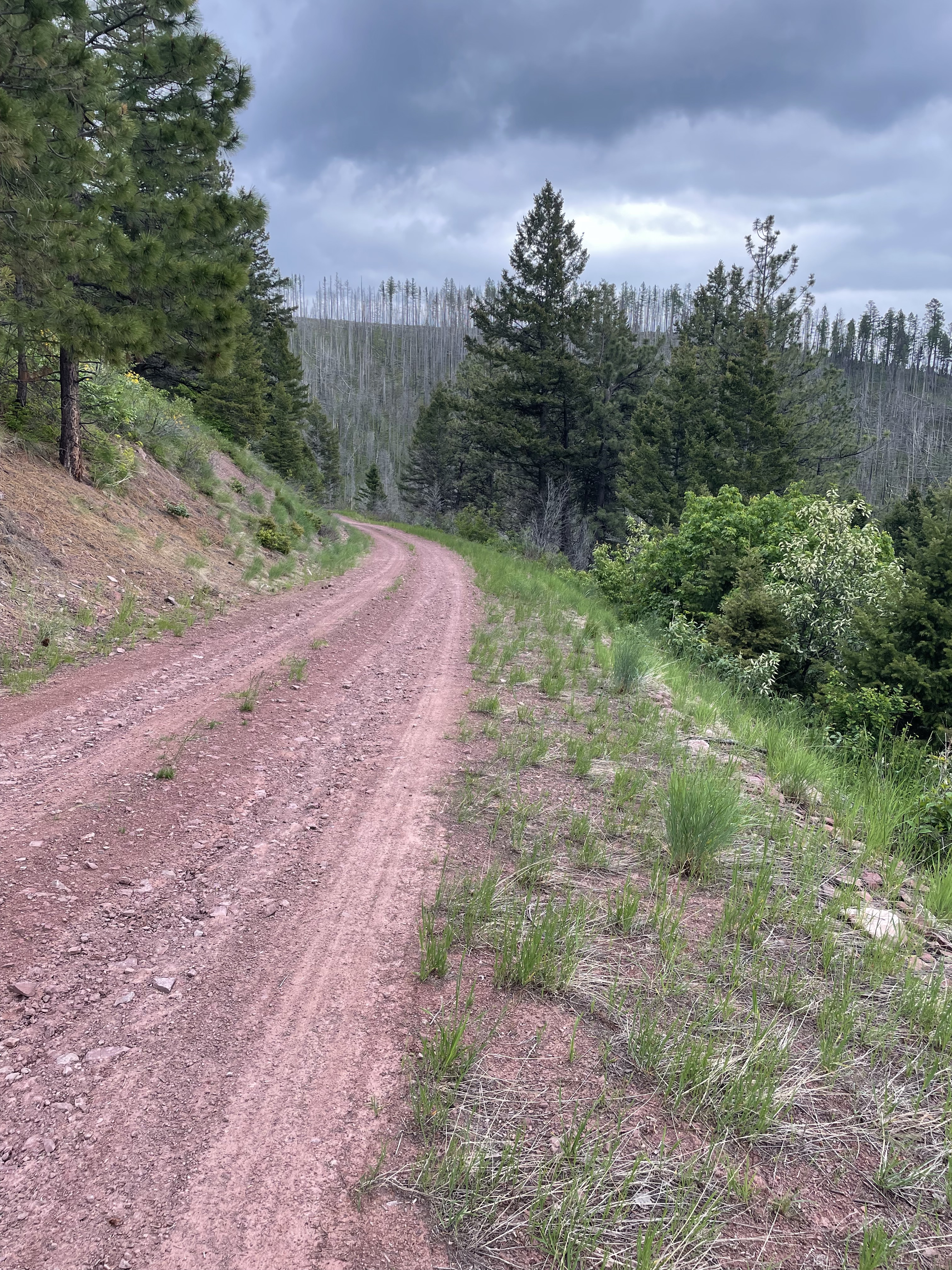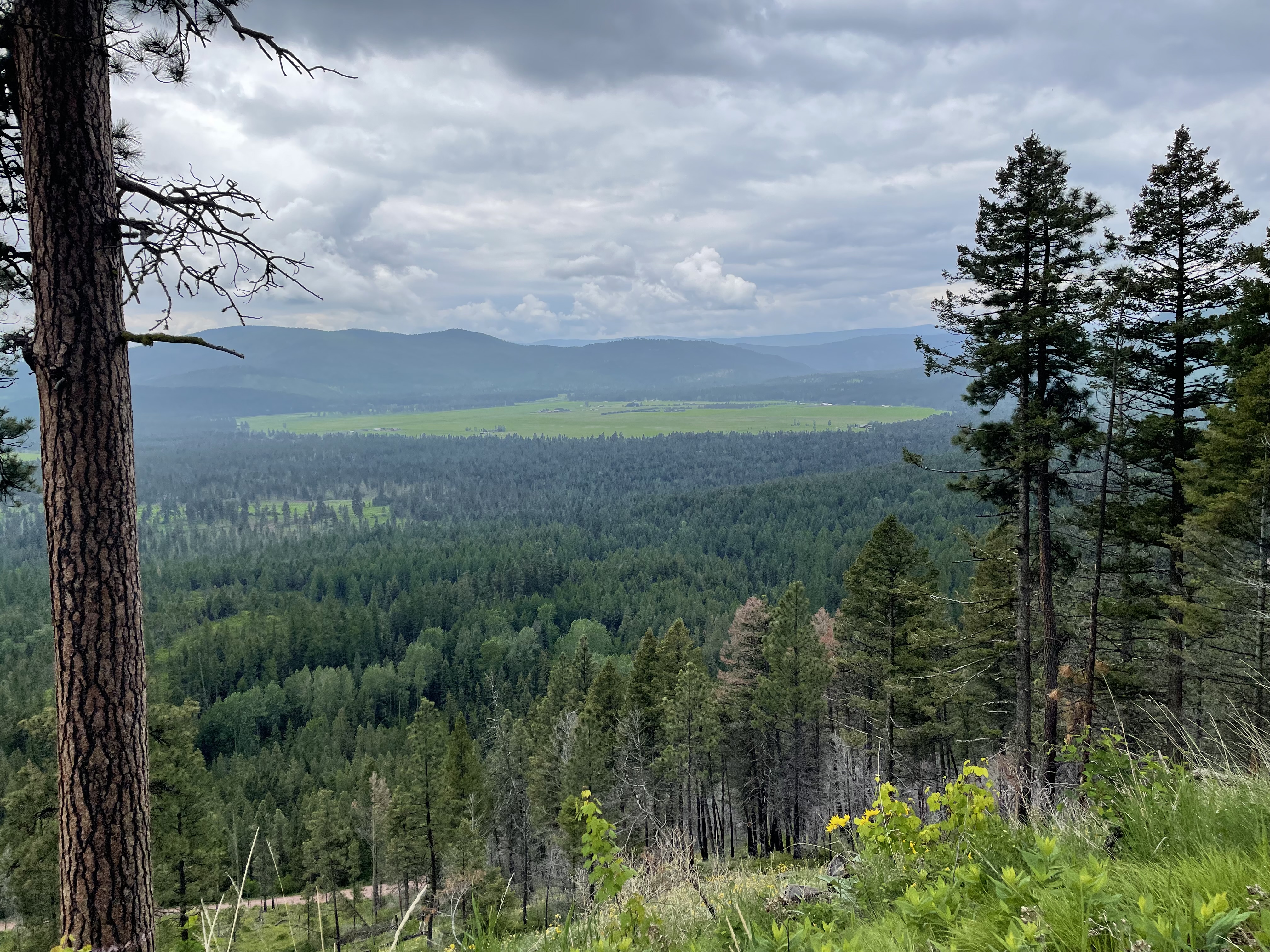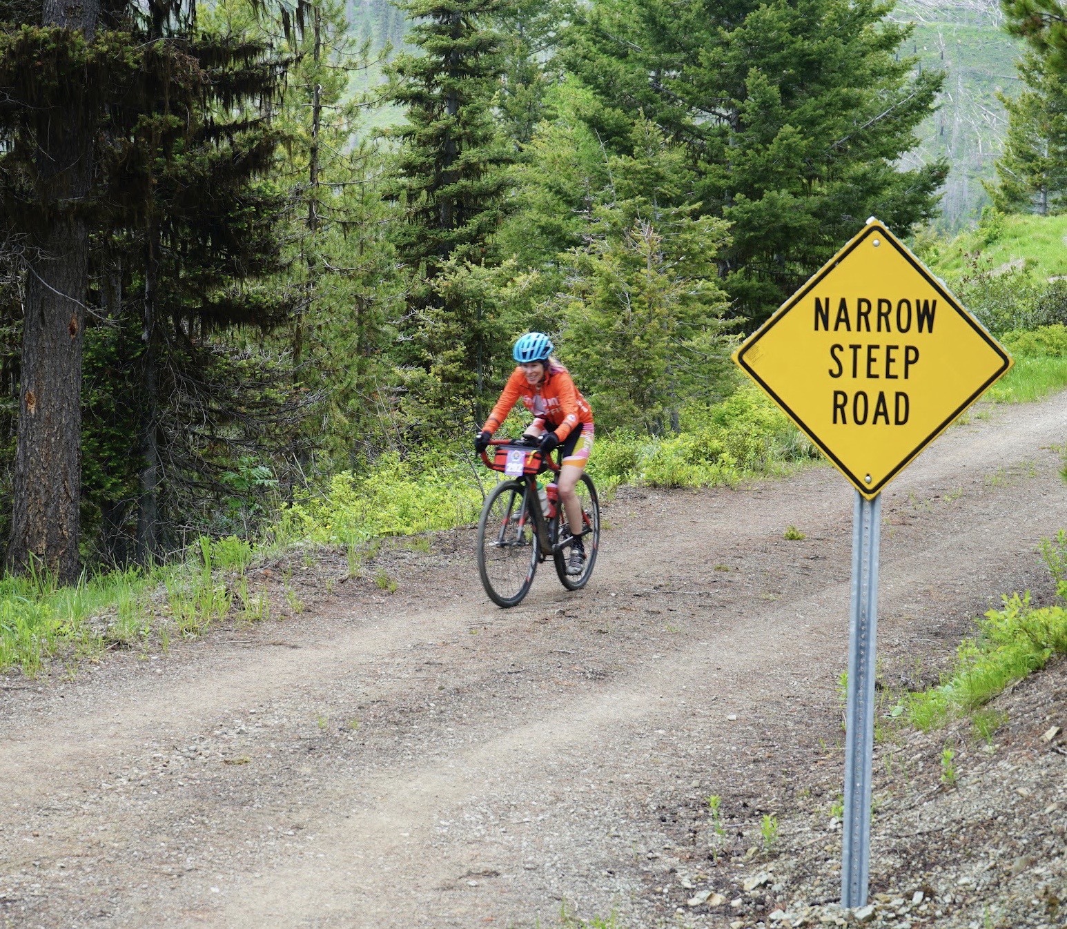
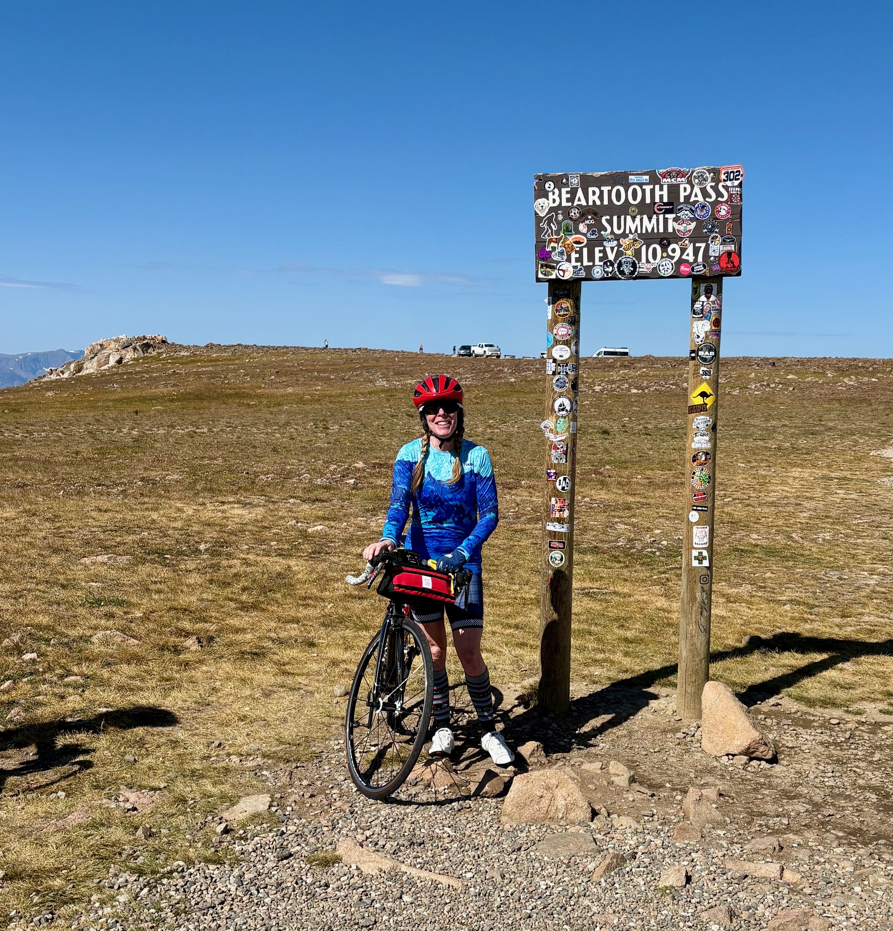
The Beartooth La Femme is a fully supported, women-only cycling event that starts and ends in Red Lodge, Montana. As the name suggests, the route follows the iconic Highway 212—also known as the Beartooth Highway—to the summit of Beartooth Pass, which sits at 10,947 feet above sea level. This stretch of highway is paved and well-maintained, and includes sharp switchbacks and beautiful views of the Beartooth Mountains as it meanders between Montana and Wyoming. It’s a legendary route, and this event offers a rare opportunity to ride it in a supportive, women-centered setting.
Here’s what made the Beartooth La Femme a standout experience for me:
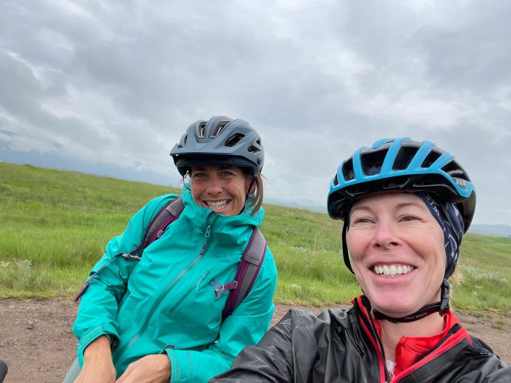
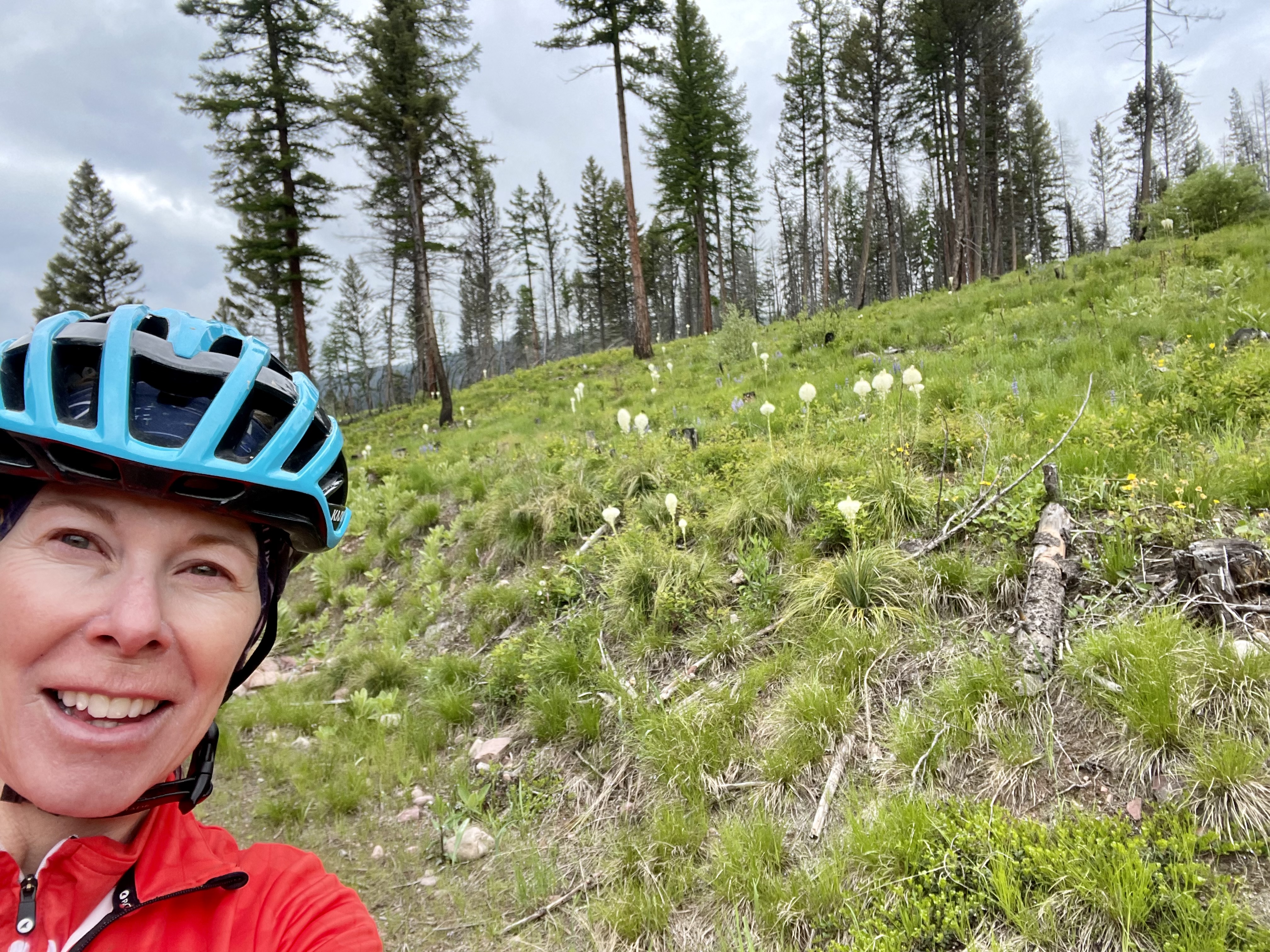
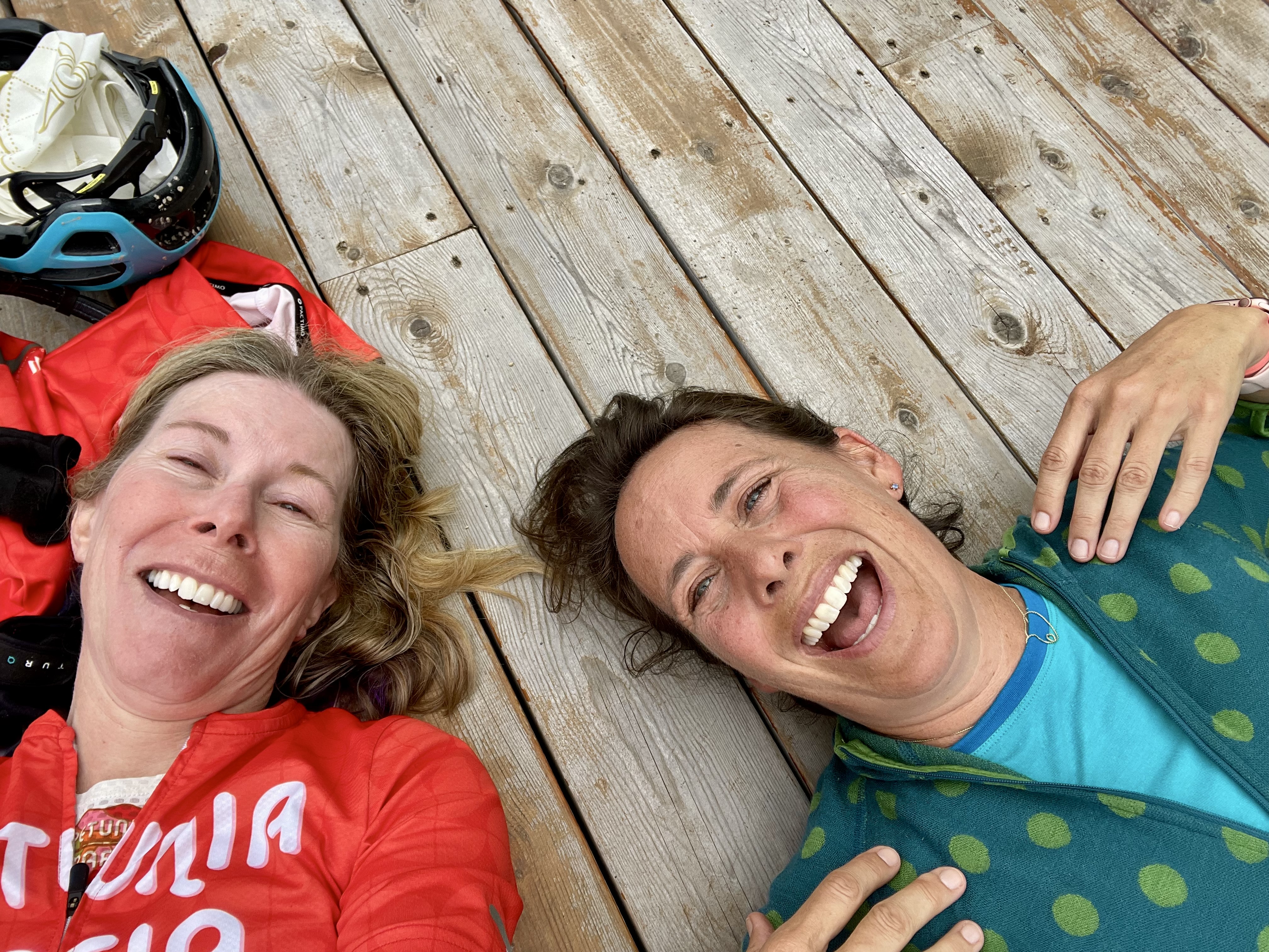
1. This event is limited to just 75 women, which keeps things intimate and, more importantly, safe. Traffic on the Beartooth Highway can be significant—especially on weekends—so the ride is held on a Monday. The route begins in downtown Red Lodge and starts with a wide shoulder, which gradually narrows as the climb progresses and ultimately disappears near the summit. The organizers discouraged personal support vehicles along the route—something I really appreciated. If each rider had a support vehicle following them, it would only increase the traffic on an already busy stretch of road. And because the riders were all women, there were cheerful conversations along the way- until the air got thin.
2. The registration fee included a pre-ride dinner of pasta, salad, and dessert at the charming Pollard Hotel. It was a great opportunity to meet and connect with other riders. The dinner also served as a briefing session, with organizers providing detailed information about the next day’s weather, traffic expectations, route conditions, and support options.
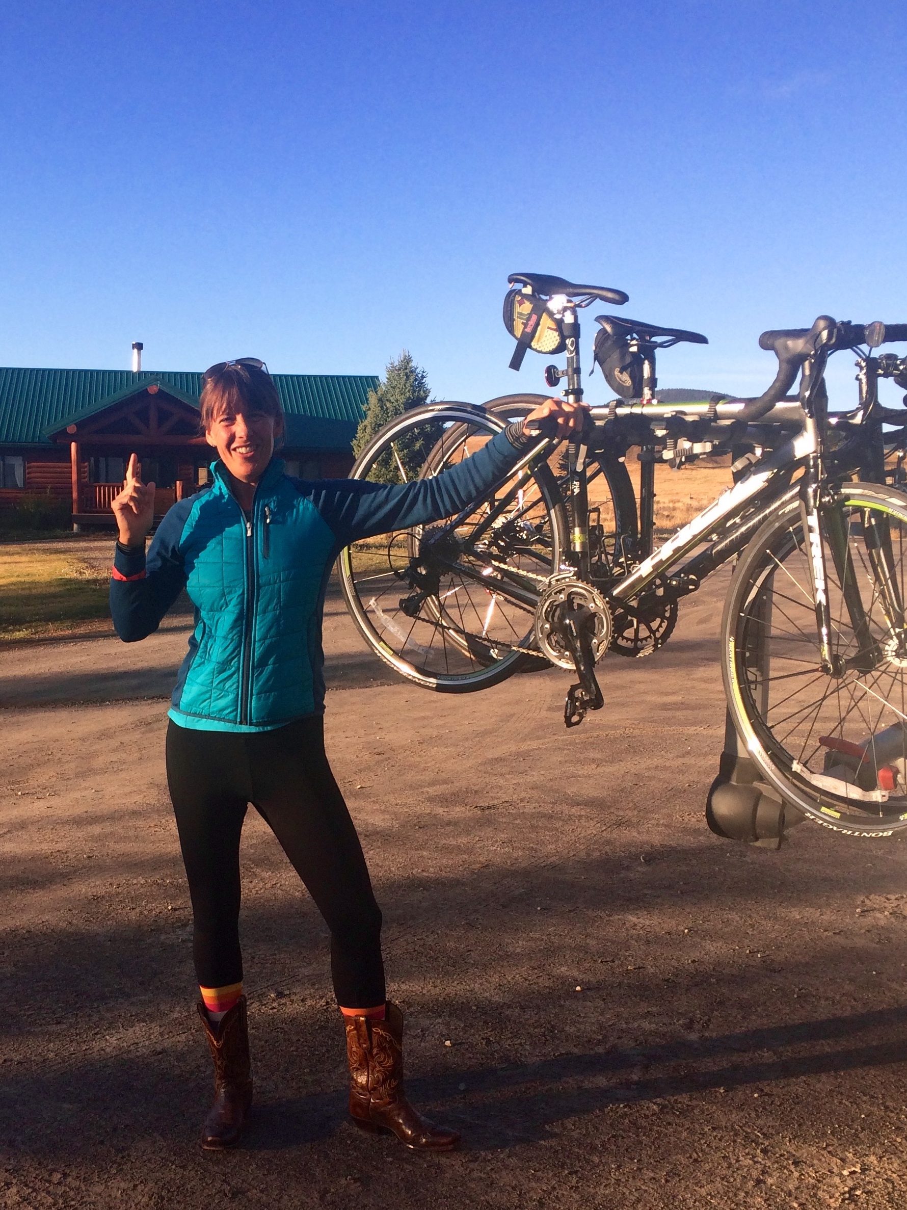
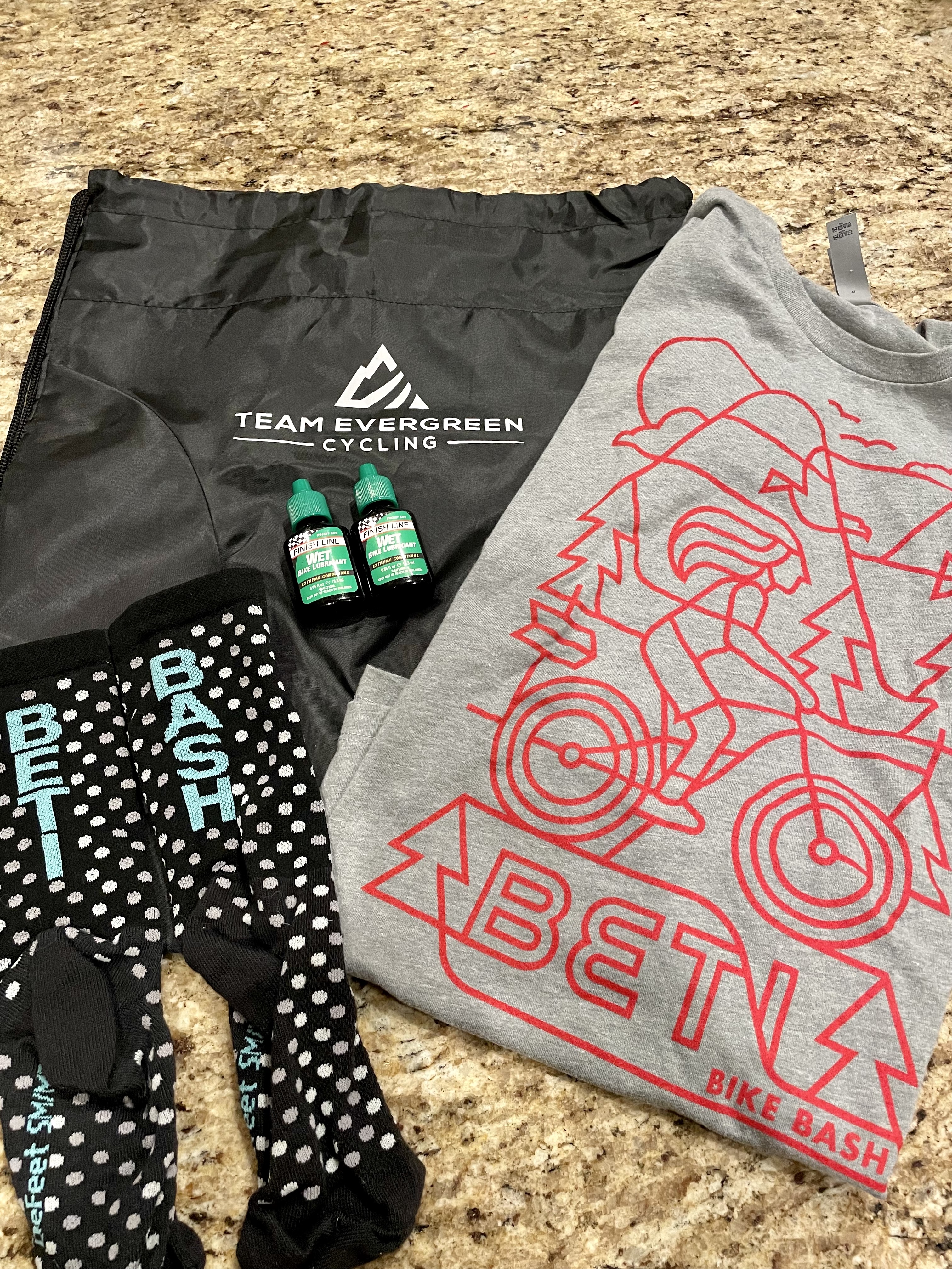
3. The registration fee also included a cycling top. I’m not usually fond of jerseys that come with registration fees because they’re often lower qualit than what I would normally purchase. However, the Terry Soleil cycling top is exceptional. It features a beautiful custom print of the Beartooth Mountains, UPF 50 fabric, and three generous rear pockets. It’s now one of my favorite pieces of cycling gear.
4. From pre-ride communication to on-course presence, the support for this event was phenomenal. Aid stations were well-stocked, and the mobile SAG vehicle made multiple passes along the route. It was reassuring to know that if I’d needed help along this 60 mile route, it was never far away. The organizers moved the start time for the ride up by thirty minutes because afternoon thunderstorms were expected, and at 10,947 feet, rain can quickly become snow. Some riders were forced to turn back as the weather moved in.
The Beartooth La Femme is more than just a bike ride—it’s an empowering, well-run, and beautifully scenic challenge designed with women’s safety and camaraderie in mind. If you’re looking for a high-altitude adventure surrounded by supportive energy, this ride absolutely delivers.